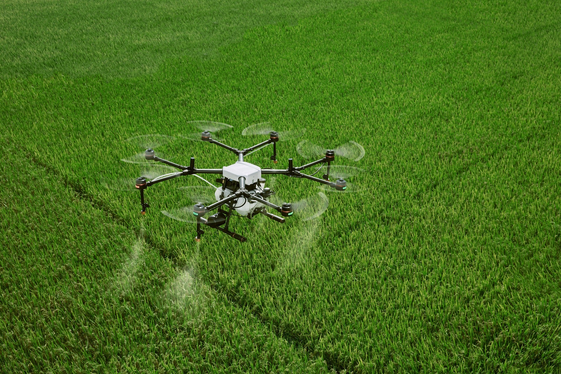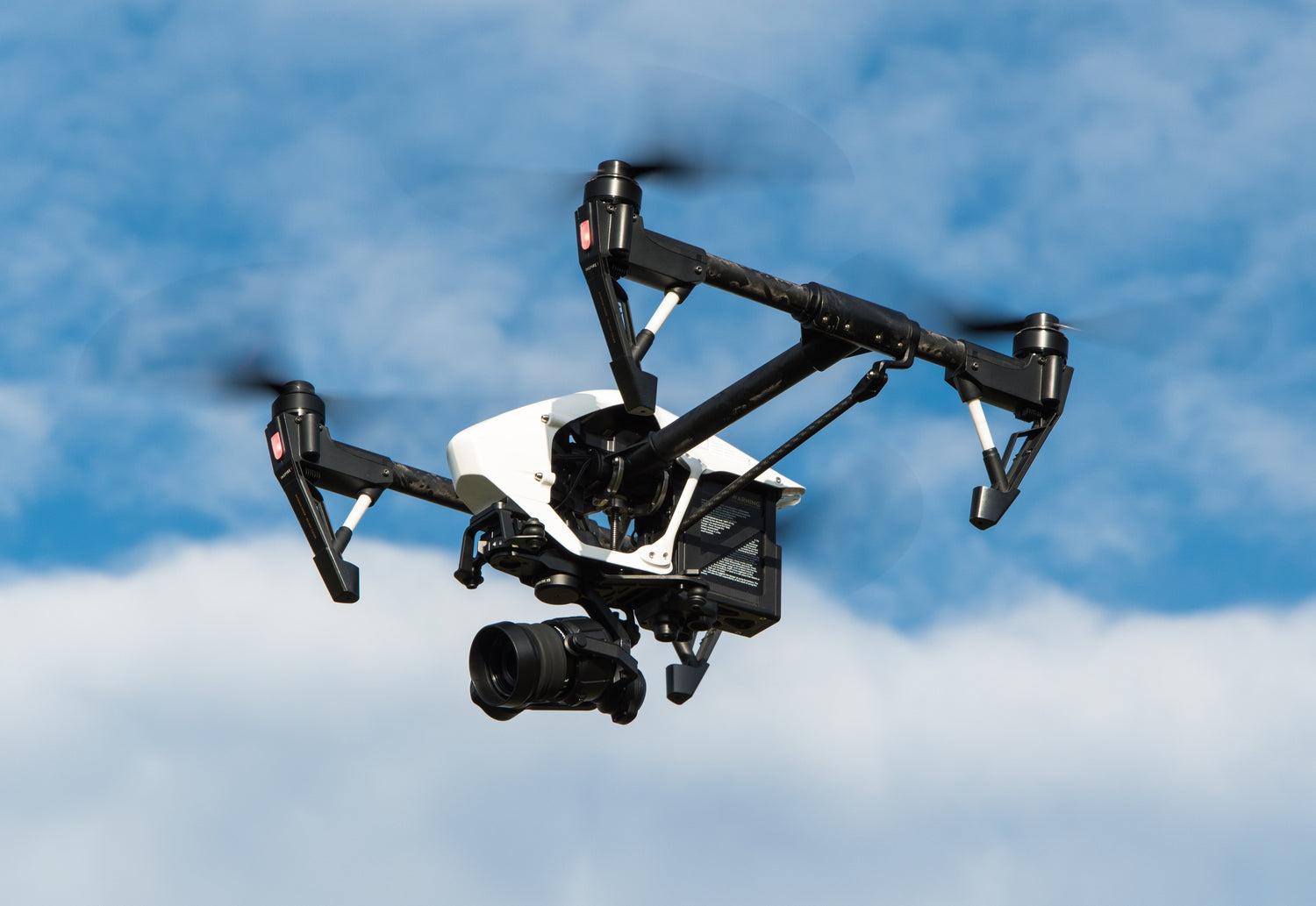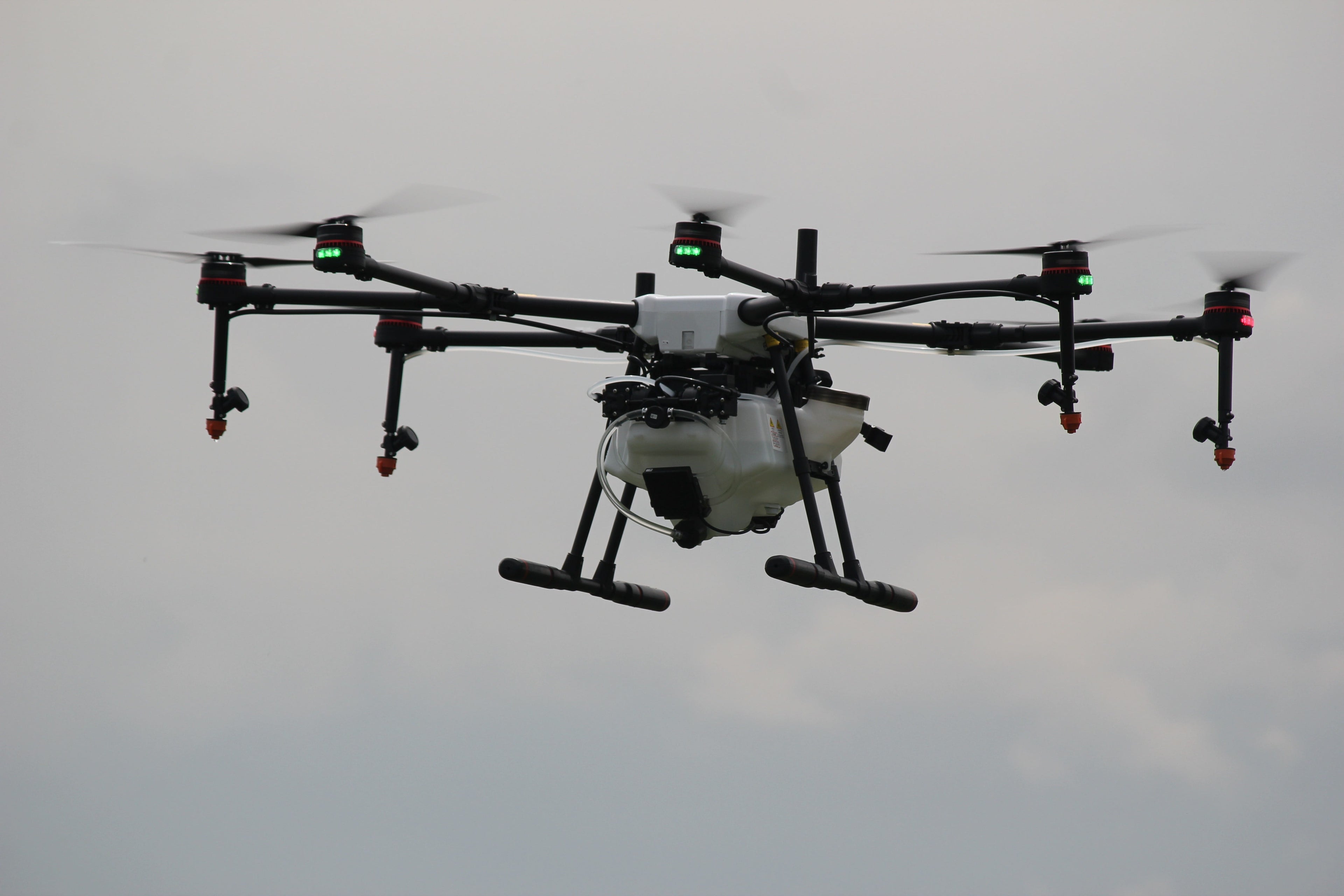
Transform your farming game with the ultimate innovation – Agriculture drones!

See Your Fields Like Never Before
With drones, mapping and surveying crops is no longer a hassle. Draw the area you need to cover, let the drone handle the flight path, and get clear, detailed images in no time. These maps reveal everything from pest problems to irrigation issues, so you can take quick action and boost your harvest.
Technology that works as hard as you do, helping you grow smarter.

Revolutionize Crop Spraying with Drone Technology
Drones give you a bird’s-eye view of your fields, helping you spot issues like irrigation gaps, pests, or disease that might go unnoticed at ground level. With real-time data and time-lapse imagery, you can make precise decisions to maximize yields, save resources, and ensure healthier crops.Smarter farming starts with smarter tools—unlock the power of drones for precision agriculture.
Destrone Solutions
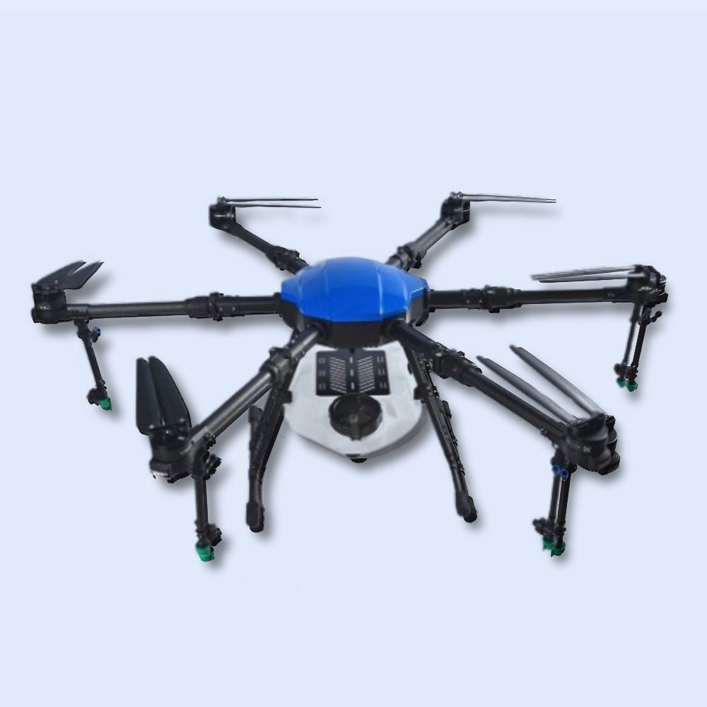
Destrone™ 10 Litre Agriculture Hexacopter Spray Drone
- Trusted Quality
- Satisfaction Guaranteed
- Free Shipping


